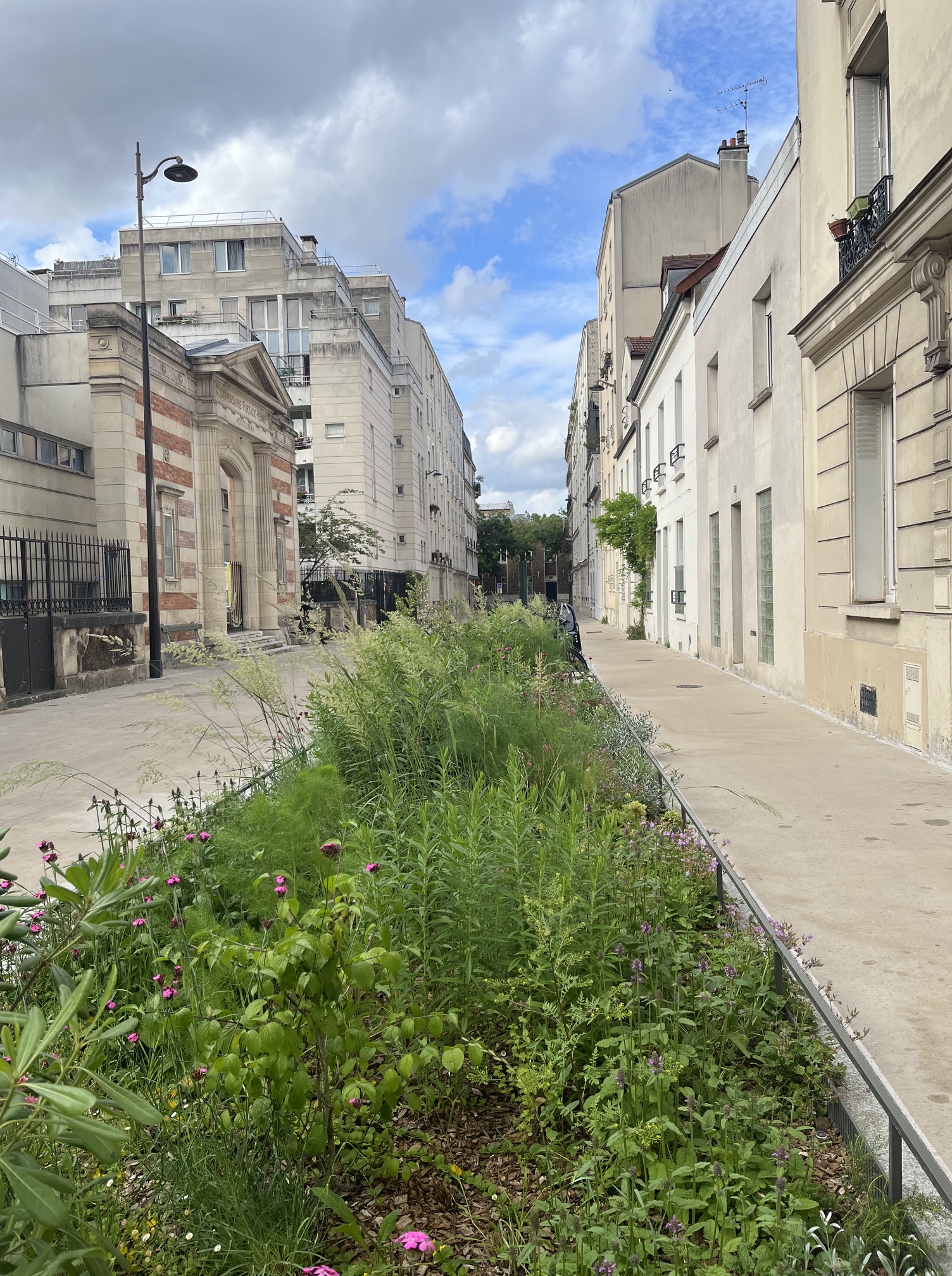
I was having lunch with my friend Mireille in a pleasant bistro when I became aware of a commotion at the next table. A man with three small children – two girls and a boy. The man was focused on his mobile phone and the kids were acting up, presumably trying to get his attention. Failing that, they got ours. In fact, when I looked towards one of the girls, she started to direct her performance towards me, the only nearby adult paying attention to her. I smiled at her sympathetically, but turned back to my conversation with Mireille.
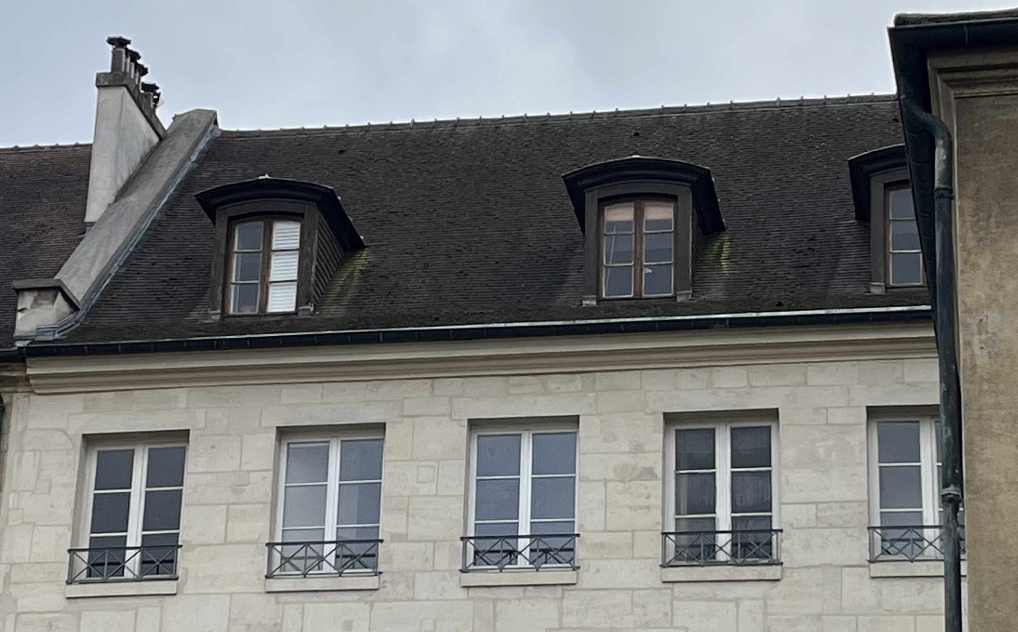
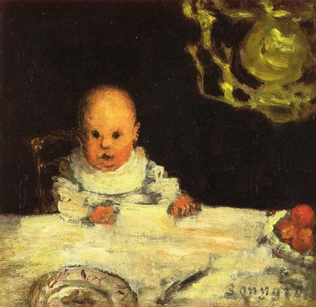
I remember the occasion, because it is relatively rare to see misbehaviour by French children in a bistro. Normally, they remain in their seats, eating and talking to the people around them. They may squirm, giggle, or squeal, but for the most part, they are learning how to behave in public. Pierre Bonnard painted this well-behaved baby at table in 1893.
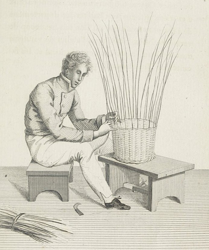
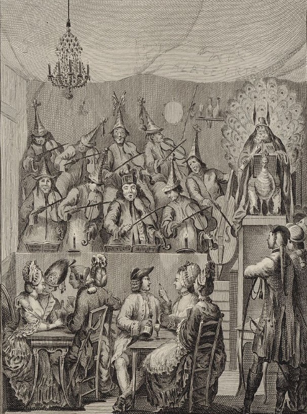
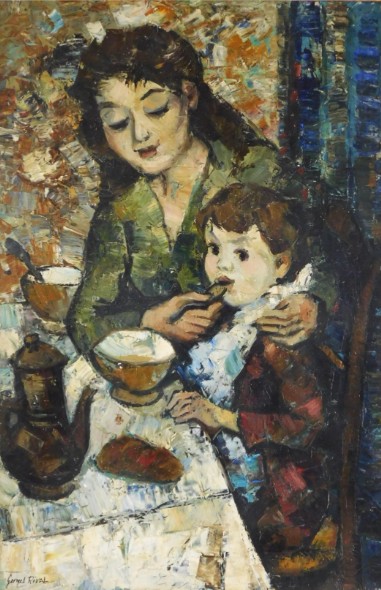
This is what Pamela Druckerman found when she wrote Bringing Up Bébé (Penguin, 2012). Using her journalistic skills of observation and research, and her circle of French and non-French friends with children in Paris, she documented everything from the way French parents get their babies to sleep through the night (the chapter should be required reading for all new parents) to the way in which the weekly and monthly menus for Paris crèches are set by a central committee. Her opening chapter was titled “French children don’t throw food,” and she describes watching French families enjoying peaceful meals in public while her infant daughter had a meltdown. As a mix of memoir and anthropology, it makes an enjoyable and informative read, even for someone, like me, who is not a parent. The image below is by Georges Rival, mid-20th century.
Pamela and her husband, Simon Kuper, went on to have twin boys, and presumably the three children were brought up with a combination of the French parental wisdom described in the book and their parents’ American/Dutch/English habits and instincts. Simon has recently written that the boys have reached the baccalauréat stage, and I imagine that their elder sister is either at university or starting a career.
When the book was published in 2012, smartphones were not as ubiquitous as they are now. The episode in the bistro was cautionary, and I wonder what else might have changed since 2012 as a result of distracted parenting. (The newspapers focus on the harmful effects of social media on children; we should not overlook the effects on parents.) Maybe there is no difference. The first word in Pamela’s glossary of French parenting terms is “Attend” (Wait). But now the child has to wait while Mum posts on Instagram or Dad finishes watching a TikTok video.
If any of our readers have thoughts on the subject, we’d be interested to hear them.
***
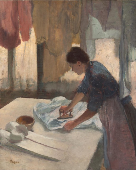
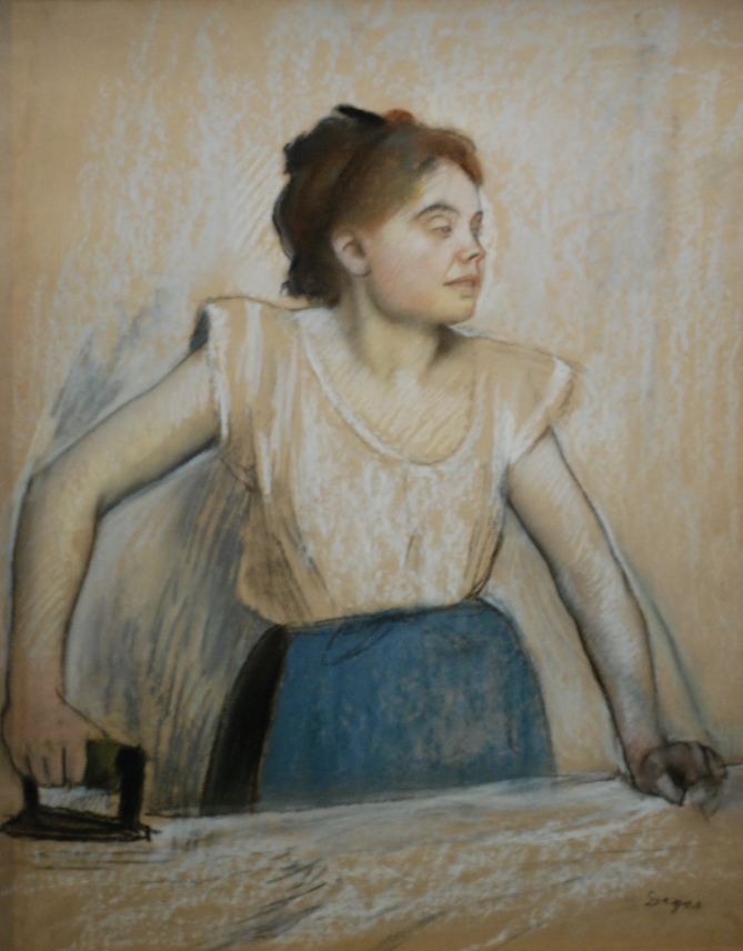
The other domestic matter I’d like to mention is ironing. Strange as it may seem, ironing and Paris are connected in my mind. (And it’s not just the paintings of Edgar Degas, as shown below.) Bear with me.
When I was a teenager, the music teacher at my school organized a three-week choir trip to England. At the end of the trip there would be an optional weekend at a youth hostel in Paris, for an additional cost. My parents were willing to fund my participation in the tour of England, but insisted that if I wanted to go to Paris, I would have to raise the extra money myself.
By that time, I was earning money as a babysitter in the neighbourhood, but that was mainly on weekends. I needed to earn more to pay for the Paris visit. So my mother agreed to pay me a hourly rate for ironing. I started off with pillow slips and my father’s handkerchiefs and graduated to shirts, blouses, and dresses. After several months, I had what I needed for the weekend in Paris.
Fast forward to the year I spent in France. As an au pair in Paris, ironing was one of my duties. When I set up the board on the dining room table, my employer looked at me oddly. “I thought you were right-handed,” she said. “I am,” I replied. What I had not realized is that for years, I had ironed on the board set up by my left-handed mother, with the point facing to the right. (Although I turned the board around, I still iron certain things, such as shirt sleeves, as my mother taught me, occasionally using my left hand. Old habits die hard.) Once again, ironing skills helped me to stay in Paris. (The image below is also by Degas, 1869.)
Over the years, I have ironed only when it is absolutely necessary. When I was working flat out as a freelancer and university teacher, we had a cleaning lady who ironed beautifully and actually enjoyed doing so. (She could also fold fitted sheets impeccably; our linen closet was a wonder to behold.) Alas, she retired shortly before I did. Two other cleaners came and went, but they did cleaning only, not ironing, and I was thrown back on my own skills.
I still have my mother’s old, clanky, metal ironing board and I would set it up near the washing machine in the basement, hardly an inspiring environment. I iron only when I can get decent classical music on the radio (in Toronto, that means CBC Music between the hours of 9 a.m. and 3 p.m. on weekdays, and a few hours on the weekends).
Friends tell me I should just buy no-iron clothes and be done with it. But Norman looks his best in a crisply ironed shirt (he likes to buy them at Alain Figaret in Paris), and in summer I wilt in anything other than pure cotton or linen clothes. That means ironing.
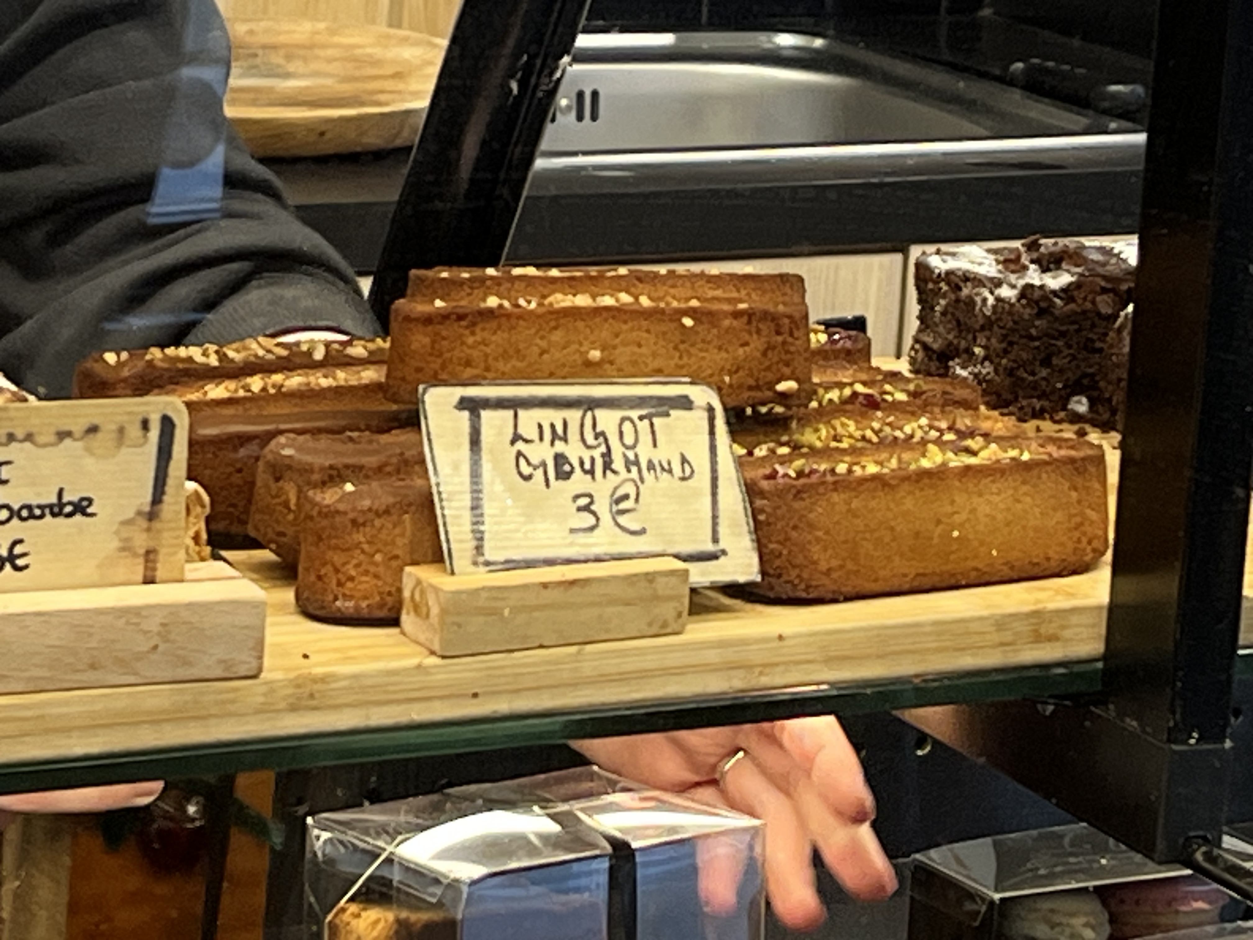
This past May, Norman and I were out shopping for some gifts when we happened upon an elegant droguerie on the rue Vaugirard. Drogueries are uniquely French institutions. The name leads one to expect a drugstore, but in fact they sell household products and hardware. Norman calls them “drudgery stores,” and some of the more mundane versions, selling mops and buckets and cleaning liquids, do make one equate housework with drudgery. Not this one. In a light, airy space, we found attractive products of wood, bamboo, metal, and natural fibres, mainly from Europe and Japan.
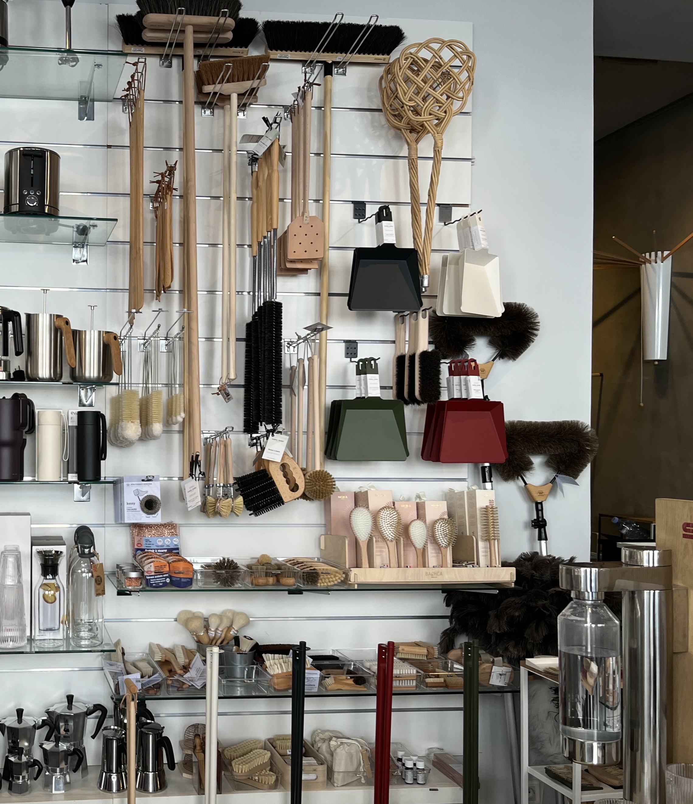
As we browsed, I was inspired with the utterly illogical idea that owning such lovely things would make our house clean, tidy, and calm forever. (And it would smell heavenly, thanks to the laundry and dishwashing liquids sold at Kerzon, another favourite shop.) A lovely dream.
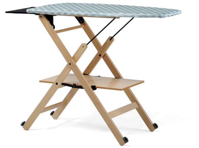
Then Norman found the ironing board. It was Italian, on a wooden frame, with a shorter, wider board and a place for the iron. A thing of beauty. We debated the merits of taking it home as oversized baggage, or having it shipped, but eventually came to our senses. However, we did write down the name of the manufacturer and took some measurements.
We left the shop with a small draining board and a shower mat (the floor of the shower in our rented apartment was lethally slippery). Back at the apartment, I used the ironing board there, which was more conventional, but still smaller and nicer than the wonky behemoth at home in Toronto.
I still think about the wooden ironing board. It was compact enough to live upstairs, and I would be able to iron in a nicer environment. We wrote to the manufacturers in Italy, but they told me they did not sell their products in Canada. I have searched in vain here for a sturdy, folding wooden board. There was one on etsy, but the seller could not ship it to Canada.
Perhaps on our next trip I will actually buy the one I saw and bring it home with me. My life would not change. The house would not instantly become calm and uncluttered. But adding a soupçon of elegance to a mundane chore might improve my mood on ironing days.
Text and photo of droguerie by Philippa Campsie. Bonnard painting from Wikiart; Rival painting from Mutual Art; Degas paintings from Wikimedia; ironing board from Foppapedretti.